The GDELT Project

  • The GDELT Project Blog
  • Website

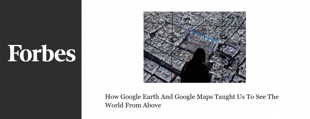
How Google Earth And Google Maps Taught Us To See The World From Above

 April 3, 2018

Looking back at how one university reacted 15 years ago to the rise of high resolution aerial imagery and a student’s Google Street View-like undergraduate thesis project, offers some insights into how society grapples with profoundly transformative new ways of seeing the world.

Read The Full Article.

Post navigation

← Do We Have The Right To Hide From Facebook's AI Algorithms?
The Cloud Is Rising To The Cybersecurity Challenge →

Archives

The Official GDELT Project Blog