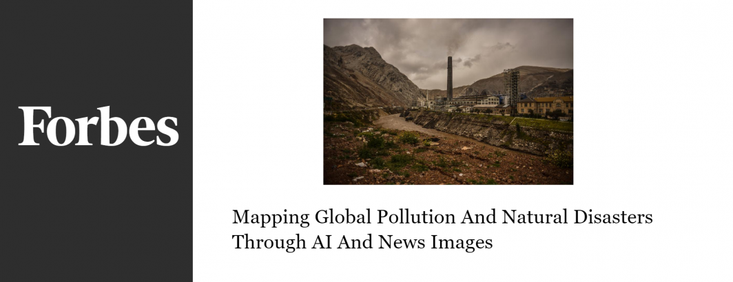
How advances in deep learning can be used to watch the daily firehose of global news imagery to catalog illegal dumping, assess smog levels and even send flash flooding alerts, all by having AI look at news photographs.
How advances in deep learning can be used to watch the daily firehose of global news imagery to catalog illegal dumping, assess smog levels and even send flash flooding alerts, all by having AI look at news photographs.