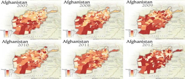
Jay Yonamine of Penn State used GDELT in his doctoral dissertation to explore how the spatial resolution of GDELT can be used to better estimate future violence at the district level in Afghanistan. This sequence of maps created by Joshua Stevens is part of a broader display showing the progression of unrest in the country since the US invasion. In this chapter of his dissertation, Jay explores how the high spatial resolution of GDELT can be used to increase the accuracy of violence forecasts in the country.