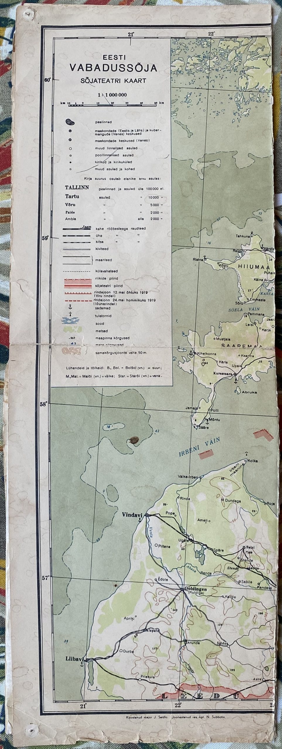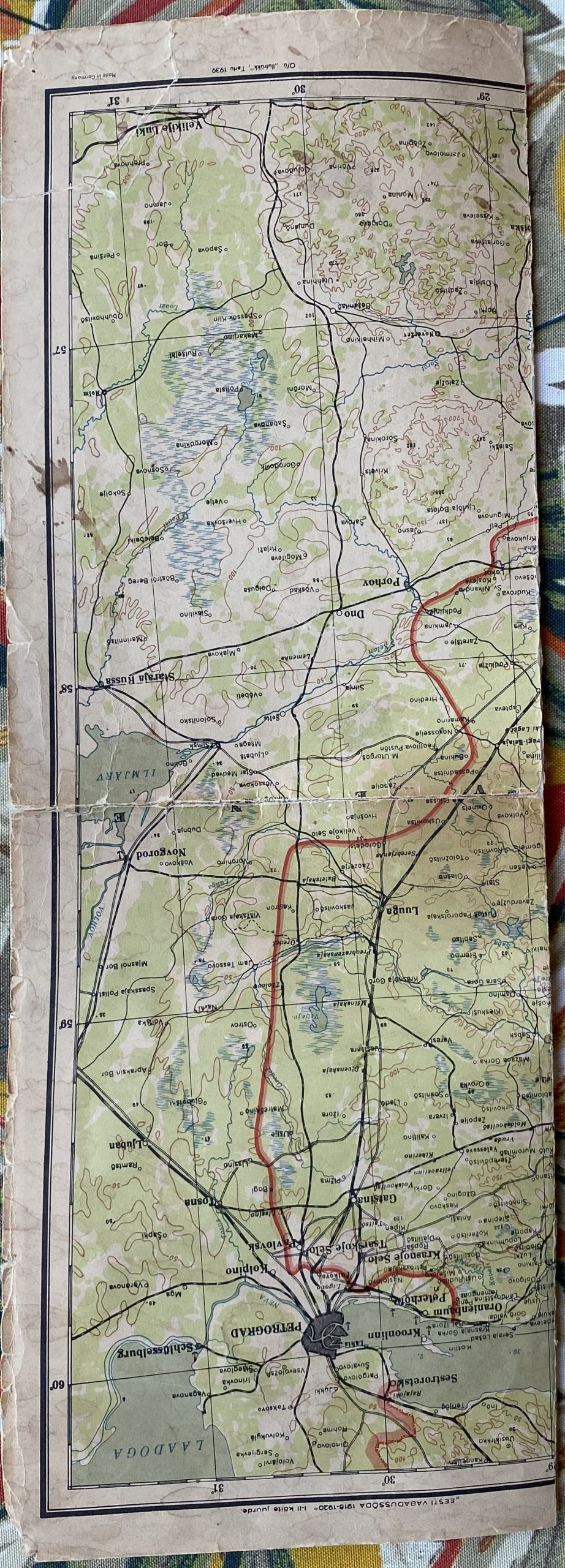
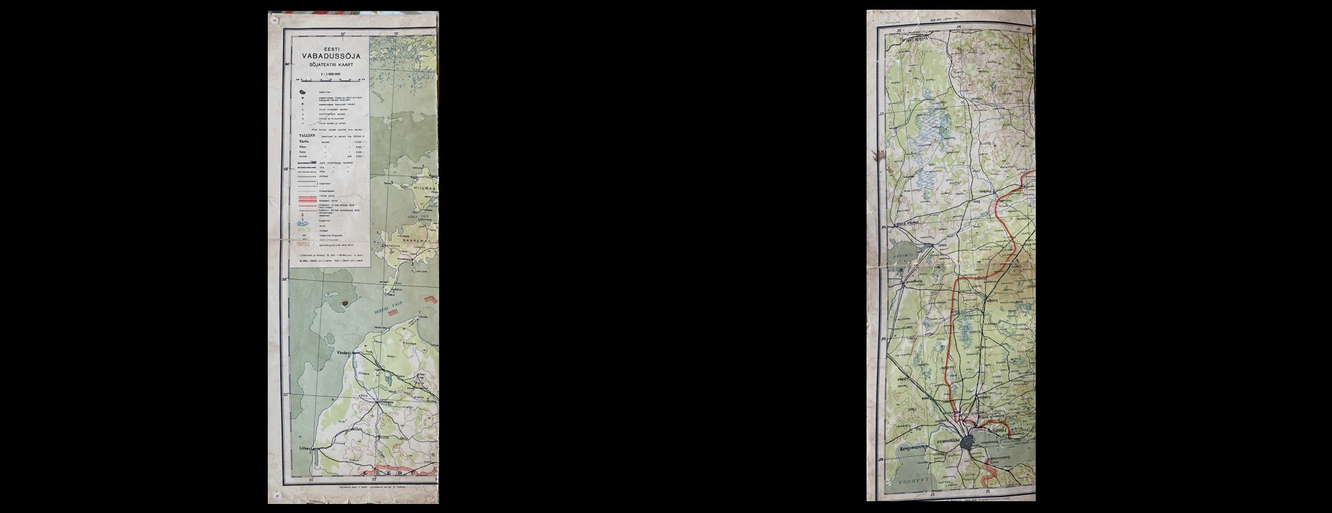
Earlier this week we used Gemini Deep Research to identify a trio of Estonian ceramics that had remained unlabeled in the collection for more than 30 years. Using nothing more than a single cellphone photo of the front and back, Gemini not only correctly identified the ceramics, but wrote an entire historical backgrounder tracing their creation. Can we repeat that process by taking a photo of the small visible part of a folded Estonian map deemed too fragile to fully open at this time? Simply by taking a cellphone snap of the visible front and back panels of the folded map, that each show just a tiny portion of the full map, Gemini was able to not only identify the original source map, but trace it back to the 1939 book in which it was originally folded into and offer a deeply researched history of the map and its parent book. This example is even more remarkable than the ceramic trio, in that here Gemini had only two small portions of the map too work with and, most importantly, had to distinguish this map from several smaller-format maps that featured nearly identical legends and markings. Once again, this demonstrates the tremendous potential of Gemini for cultural institutions – this time as a tool to identify artifacts that are too fragile to fully inspect, tracing them back to their original sources from just the few pieces that are visible.