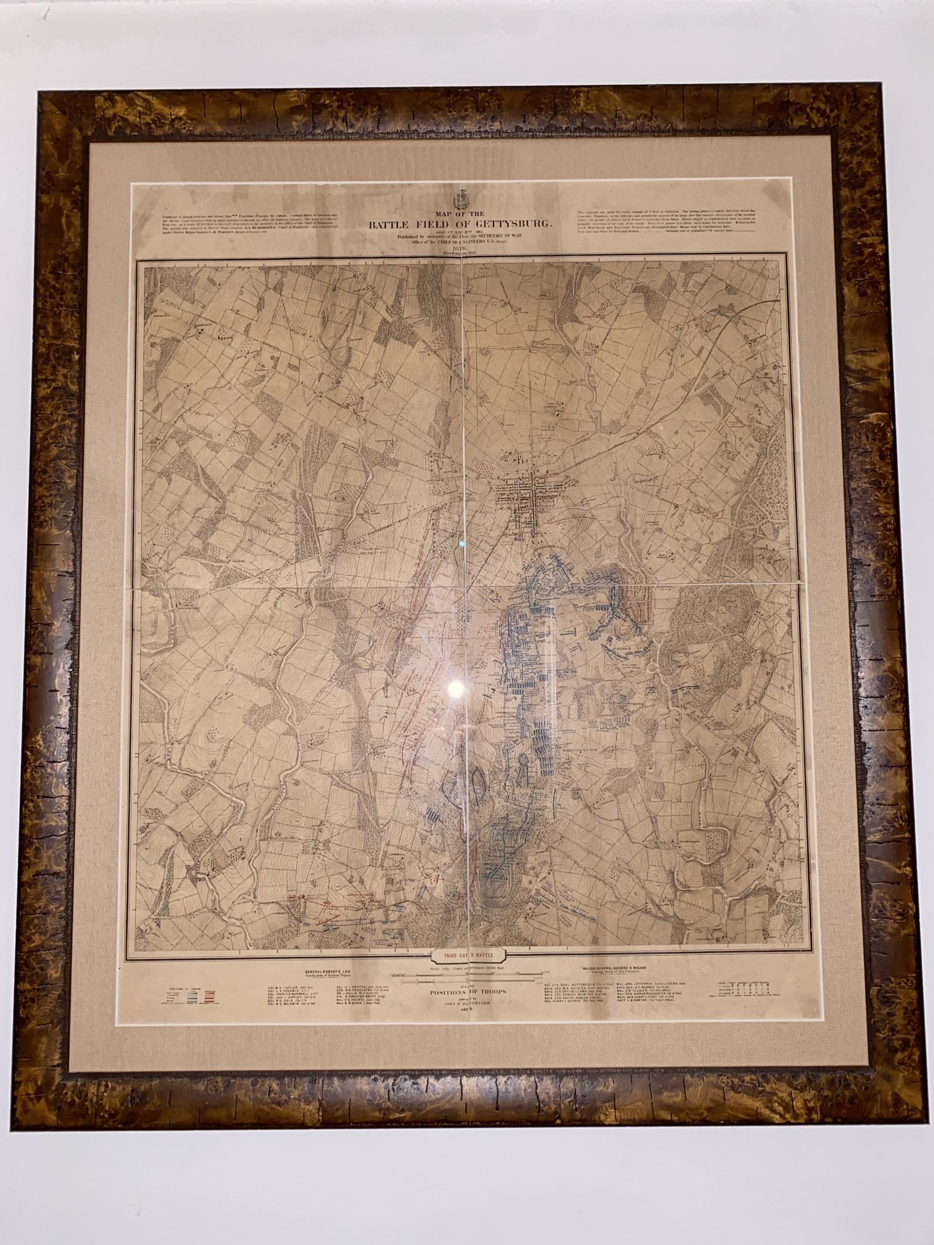
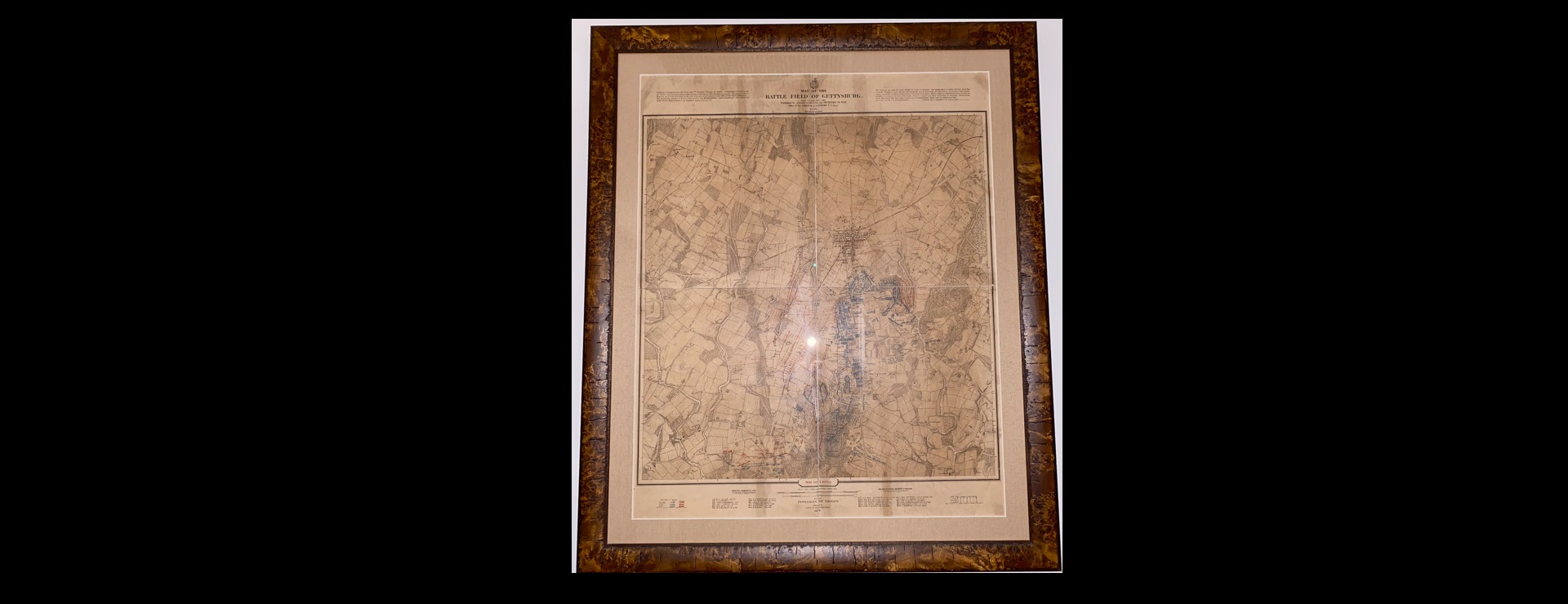
Continuing our series applying Gemini Deep Research to write historical backgrounders for historical artifacts, earlier today we demonstrated Deep Research's ability to identify and write an entire report about a folded historical Estonian map by seeing only the front and back of the folded map. What about this Civil War map? Here we can see the entire map and its identifying information. What if we just give Gemini the photo below and ask it to tell us about the map – how well does it do?
And here is a short description of the map created by simply giving Gemini 3.1 Pro this prompt and attaching the photo of the map:
Give me a short brief paragraph about this map for a museum exhibition catalog. Keep it brief, but informative and upbeat for an exhibition catalog that makes a reader want to learn more about the artifact. Focus on the history and context and especially what makes this item significant and important.
Step back into the defining moments of the American Civil War with this remarkable 1876 topographical map. Commissioned by the U.S. Secretary of War and meticulously compiled by John B. Bachelder—the undisputed 19th-century authority on the Battle of Gettysburg—this map captures the decisive third day of combat with breathtaking precision. Bachelder spent years exhaustively interviewing veterans from both sides and surveying the terrain to plot the exact troop positions, famously represented here in striking red and blue detail. More than just a beautifully rendered piece of historic cartography, this artifact is a true cornerstone of American history; it fundamentally shaped our modern understanding of the battle's pivotal maneuvers and served as the foundational blueprint for preserving the Gettysburg National Military Park for generations to come.
For the full-length Deep Research report we used this prompt:
Give me a deeply researched history and context of this map and focusing on its background, context, significance, meaning to American history and place among Americana and rarity.