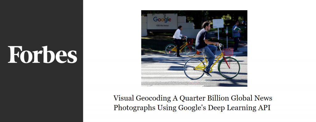
Traditionally we’ve focused on mapping the geography of text, but through deep learning we now have algorithms that can visually geocode images, recognizing where they were taken and placing them on a map – here’s what it looks like to map a quarter billion worldwide news images.
Visual Geocoding A Quarter Billion Global News Photographs Using Google's Deep Learning API
