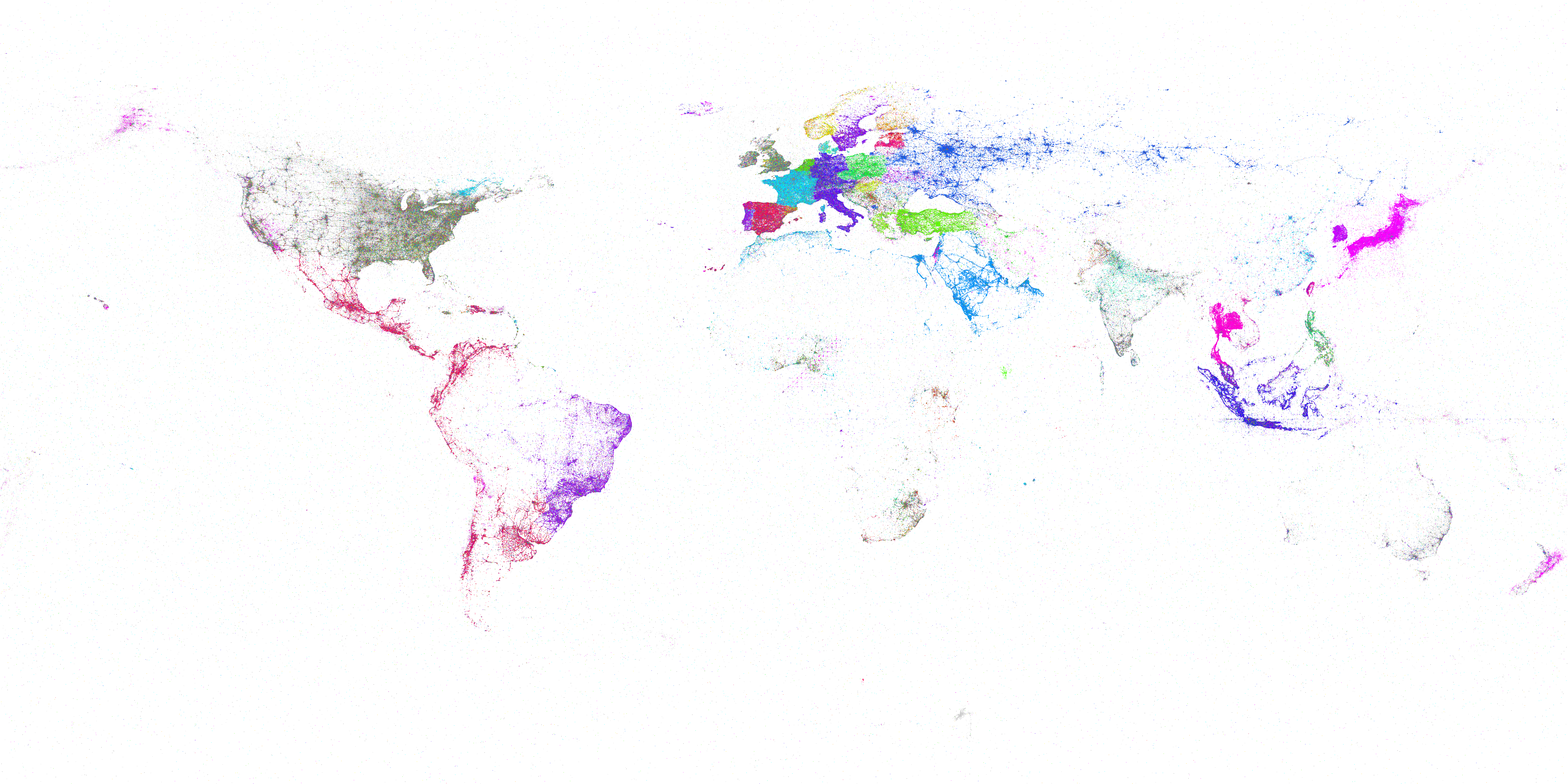
As part of Kalev's massive new study visualizing Twitter's evolution over the past seven years, the map below shows all geotagged tweets in Twitter's 1% stream 2012-2018 colored by language.
The map is available in 4K, 16K and 32K full resolution versions for download, as well as an interactive online zoomable version and an animation.