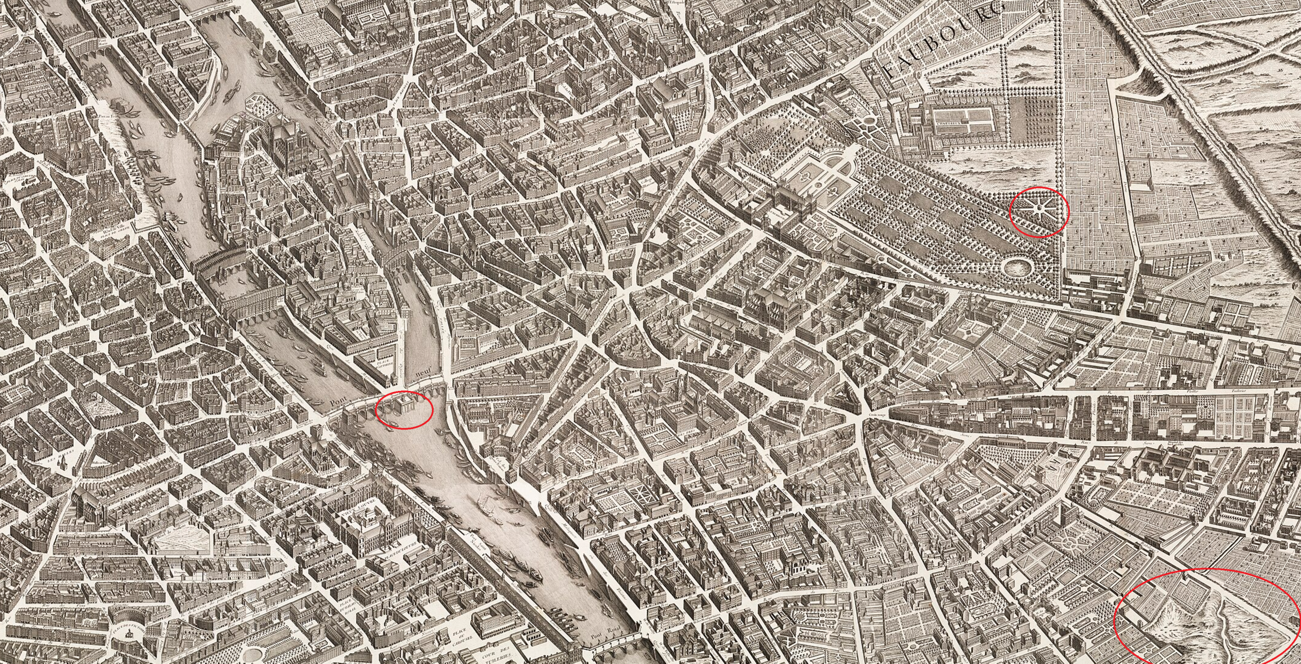
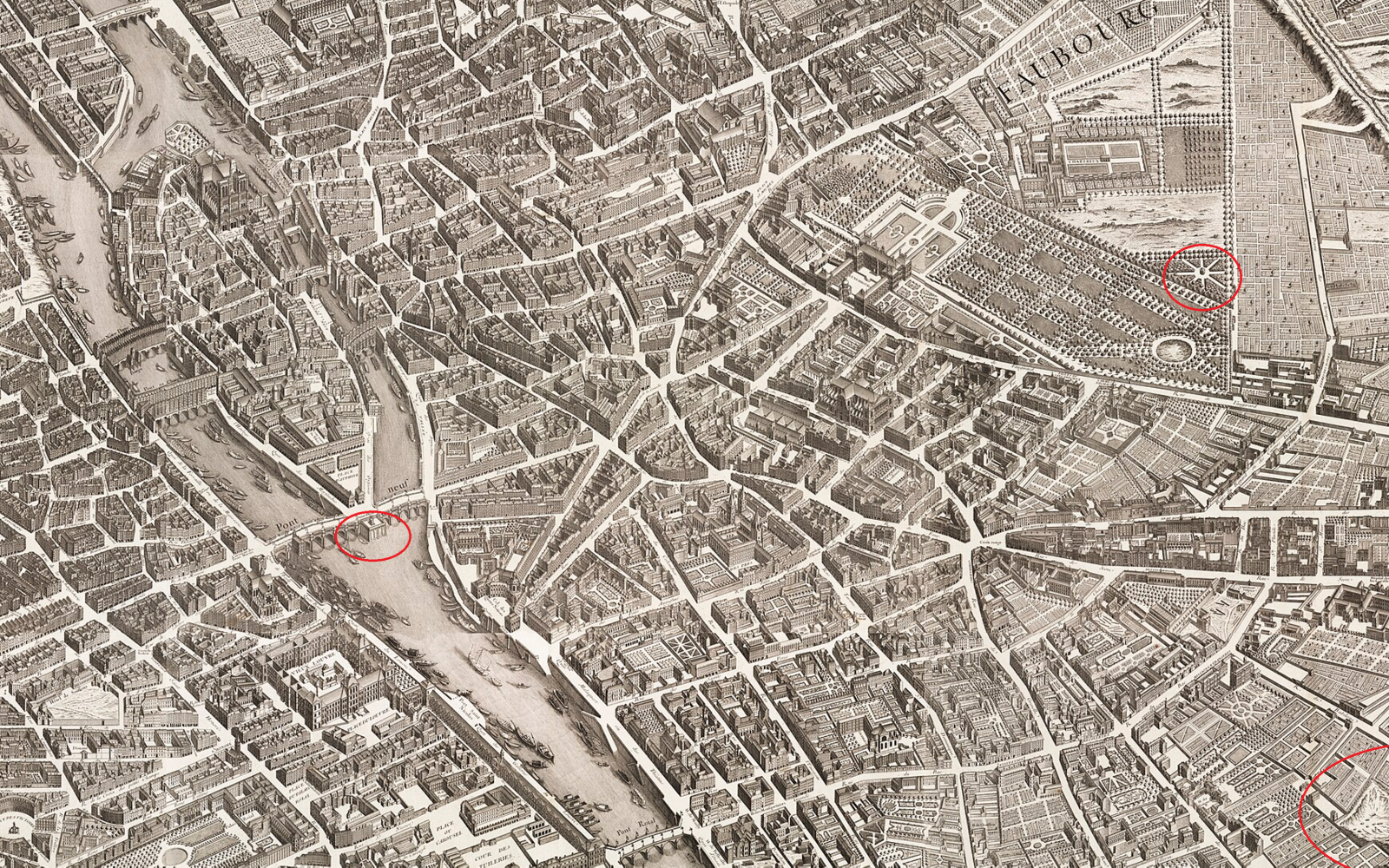
The Turgot map of Paris is one of the largest monumental city maps of the 18th century, more than 8 x 10 feet in size. In glancing at a copy of it today we got wondering about various fascinating little details we could see on the map, but had no way of learning more about. It turns out we can just circle things we're interested in on the map and Gemini is able to instantly identify them and tell us all about them!
What is what are the three red circled buildings/areas in this map?
This image is a section of the Plan de Turgot (1734–1739), a bird's-eye perspective map of Paris created by Louis Bretez under the commission of Michel-Étienne Turgot. On this map, north is oriented toward the lower left and south is toward the upper right.
The three red-circled locations are:
-
Left Circle (on the Seine): Pompe de la Samaritaine Located along the second arch on the northern (Right Bank) side of the Pont Neuf, this was a famous water-pumping station built under King Henry IV between 1602 and 1608. Designed by Flemish engineer Jean Lintlaër, it pumped water from the Seine to supply the Louvre and Tuileries palaces, and its name later inspired the famous department store located nearby on the Right Bank.
-
Upper-Right Circle (in the large formal park): Bosquet star / Carrefour in the Jardin du Luxembourg Located at the southwestern edge of the Luxembourg Gardens (Jardin du Palais du Luxembourg, whose palace is visible just up and to the left), this circle highlights an étoile (star-shaped intersection of tree-lined allées with a central circular basin or clearing) within the geometric wooded groves (bosquets), immediately bordering the vast grounds of the Couvent des Chartreux (Carthusian Monastery) to its south.
-
Lower-Right Circle (hilly terrain at the bottom right): The Jardin des Apothicaires and Quarry Mounds along the Rue de l'Arbalète Situated in the southern outskirts of the Montagne Sainte-Geneviève / Faubourg Saint-Marcel (just east of the domed Val-de-Grâce abbey, which sits slightly cropped at the bottom border, and bordered by the Rue des Postes—today's Rue Lhomond—and the Rue de l'Arbalète), this circle encloses the Jardin des Apothicaires (Apothecaries' Garden, the walled compound at the upper left of the circle that later became the École de Pharmacie and Institut National Agronomique) alongside the unbuilt, hilly terrain of open limestone/gypsum quarries and earth mounds (buttes and terres en friche) bordering the Rue de l'Arbalète and Rue des Bourguignons.