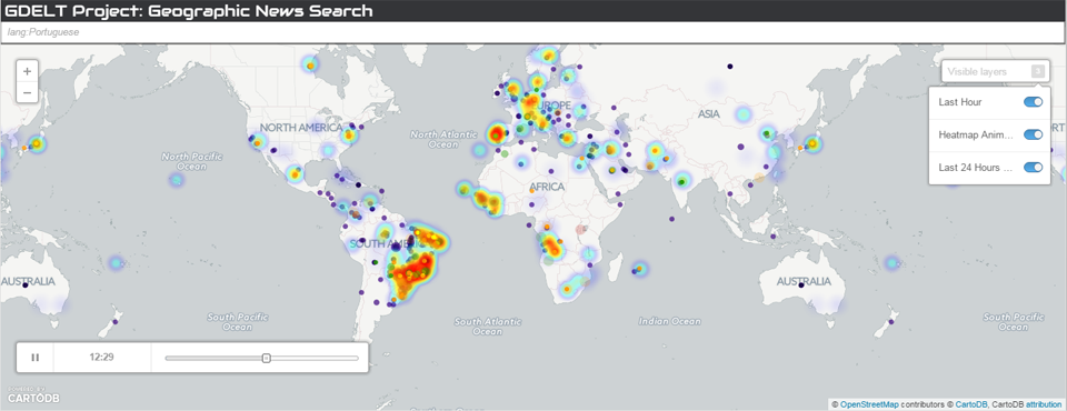
A number of you have asked how GDELT might be used to explore the narrative of a presidential election campaign, examining the geographic, topical, and emotional discourse surrounding each candidate. Towards that end, the maps below use the new GDELT Geographic News Search service to offer a first glimpse at what this might look like from a geographic standpoint, mapping the locations and emotions at those locations most closely associated with each candidate as monitored by GDELT over the last hour (clickable purple layer) and 24 hours (animated heatmap and emotional layers). Coverage monitored in the last hour appears in the clickable purple layer, so you can click on a location and see what coverage GDELT is monitoring about the candidate that mentioned that location. We included a selection of declared candidates and those who have been included in multiple national polls or who have been widely discussed in the context of the election.
Keep in mind that these maps reflect only news coverage that explicitly or implicitly connects a candidate with a specific location in space. An article about a candidate’s views on religion or the economy would not be found below unless it referenced specific speeches or policy statements given by the candidate during particular campaign stops or which relate to particular locations (such as the Iraq war).
It is important to understand what the dots on the maps below mean in the context of the presidential candidates. In many cases it may reflect an actual campaign stop (such as Hillary Clinton stopping in Brooklyn) or a past policy decision or action (such as Clinton’s role as Secretary of State during the 2012 Benghazi attacks). However, a dot does not necessarily mean that a candidate actually visited that location, nor does it mean that the candidate is necessarily directly involved or related to that location. In the case of Clinton, an ABC News / Yahoo News investigation noted she was listed as host of a Moroccan event sponsored by an organization accused of human rights abuses, while a Washington Post article alleged that family connections helped her brother land a board position at a company that subsequently won a rare gold mining permit from the Haitian government. These two articles resulted in dots being displayed for Clinton in Morocco and Haiti reflecting her contextualization with those locations, even if she did not visit those locations herself. Thus, it is important to understand that the maps reflect the geography being associated with a candidate, even contextually, rather than being a map of their latest campaign stops. In this way it offers an unprecedented view of the context around a candidate and how that is evolving in realtime across the world’s media and languages.
Note that you will catch a fair number of errors or omissions in the maps below. It is important to note that these maps are generated entirely by computer algorithms that are attempting to process a large cross-section of the entire world's journalistic output in realtime, including the world's largest deployments of streaming machine translation and multilingual geocoding of the news. Operating at this scale pushes to the very edge of the current state of the art and means that there will always be a degree of error in these maps. GDELT also does not heavily emphasize American domestic political press, so may miss some related coverage, and may not properly place all locations on the map, even from coverage it does monitor, due to the strict proximity filtering performed. However, overall, these maps offer a powerful new lens onto the 2016 US Presidential Election!
To embed any of these maps on your own website, copy-paste the following HTML code into your site (if you're using a blogging platform like WordPress, switch to "Text" view to paste this code in). Change "hillary" and "clinton" to the first and last name of the candidate you're interested in. (The "%20" in the middle is the HTML code for escaping a space character).
<iframe src="http://gns.gdeltproject.org/?QUERY=hillary%20clinton&SCROLLWHEEL=false&DISABLESEARCHBOX=true&FORCEMOBILE=true" width="100%" height="520" frameborder="0" allowfullscreen="allowfullscreen"></iframe>
(NOTE: the large number of maps on this page means that it may take several seconds, potentially upwards of 10-20 seconds for all of the maps to fully load, so please be patient.)
